 lop News
Three people injured, more than 630 flights scrapped, and a bullet-train network bracing for disruption. Typhoon Jangmi is already making itself felt across Japan’s southern islands, and it’s not done yet.
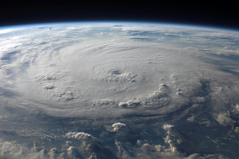
What makes Jangmi unusual is where it came from. The storm formed inside a monsoonal gyre — a vast, slow-rotating circulation over the Philippine Sea that spawns typhoons through smaller vortices within its flow. Storms born this way tend to carry broad areas of low pressure and extensive wind fields, often without forming a distinct eye. That means wider areas get hit, even if peak winds look modest on paper.
Modest is relative. By early Monday morning, Jangmi had sustained winds of 67 mph and gusts hitting 100 mph, according to the Japan Meteorological Agency. As of Monday evening, the storm sat west of Okinawa’s main island, heading north toward Kyushu. The agency expects central pressure to drop to 965 hPa, with gusts reaching 110 mph as the storm tracks north toward Kyushu.
The timeline is immediate. Up to 300 mm of rain could fall on Okinawa and the Amami islands in the 24 hours through Tuesday evening. Wind gusts of 162 km/h are possible across both regions. By Wednesday, the forecast shifts to Japan’s Pacific coast — Shikoku and the Kansai region could see another 300 mm, with 200 mm projected for central Japan’s Tokai region.
Roughly 400 flights were canceled on Monday and more than 230 on Tuesday, most serving Okinawa, with Japan Airlines and All Nippon Airways among the carriers affected. The Tokaido Shinkansen line, which connects Tokyo to Osaka, warned of possible service interruptions from Tuesday night into Wednesday.
Chief Cabinet Secretary Minoru Kihara said the government has activated an information liaison office at the cabinet’s disaster management center to coordinate with local governments on evacuations. Level 4 alerts — classified as urgent warnings under Japan’s revised disaster system, meaning residents in dangerous areas should evacuate — could be issued in coming hours.
Jangmi is expected to weaken after reaching eastern Japan by midweek. Before it does, the broad wind field that a monsoonal gyre imparts means the damage footprint could stretch wider than a single track suggests.
Discussion (6)