 lop News
The world burned less land in 2025 than almost any year this century. By the numbers, it should have been a quiet year. It was not.
According to Phys.org, a new analysis of global wildfire activity reportedly found that 2025 recorded among the lowest total burned areas since satellite tracking began in 2002. The same year produced some of the most destructive and deadly fire events in recent history — a contradiction that is becoming the defining pattern of the current fire era.
The explanation comes down to a single variable: proximity. Fires are not spreading across more of the planet, but they are striking with greater force where people live.
The analysis identifies a clear trend toward blazes that are increasingly extreme in behavior, costlier in economic damage, and more lethal in human toll. Global burned area has reportedly held flat or declined in aggregate for years — a trend some researchers have attributed partly to agricultural expansion and active fire management in tropical regions — though no specific source is cited for this claim. But the fires that do break through — often supercharged by heat, drought, and wind — are reaching populated areas with devastating efficiency.
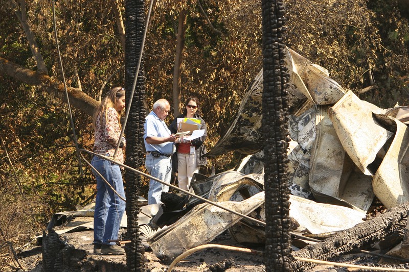
A million hectares of remote boreal forest registers as a carbon data point. A fraction of that acreage tearing through a town or suburban wildland interface registers as a catastrophe that dominates headlines for weeks.
The 2025 data frames the stakes plainly. By one metric — land consumed — it was a calm year for wildfire globally. By every measure that counts to the people caught in the path of the flames, it was anything but. Total hectares burned, long the standard gauge of planetary fire activity, is becoming an unreliable guide to the danger fires actually pose. The fires that matter most are no longer the biggest — they are the ones that arrive where people are.
Discussion (6)